Importance of Forest Monitoring and Conservation
Forests provide essential ecosystem services like:
- carbon sequestration
- biodiversity habitat
- water regulation
Effective monitoring ensures that these critical functions continue, especially amid deforestation and climate change. Conservation efforts also protect indigenous communities whose livelihoods depend on forest resources.
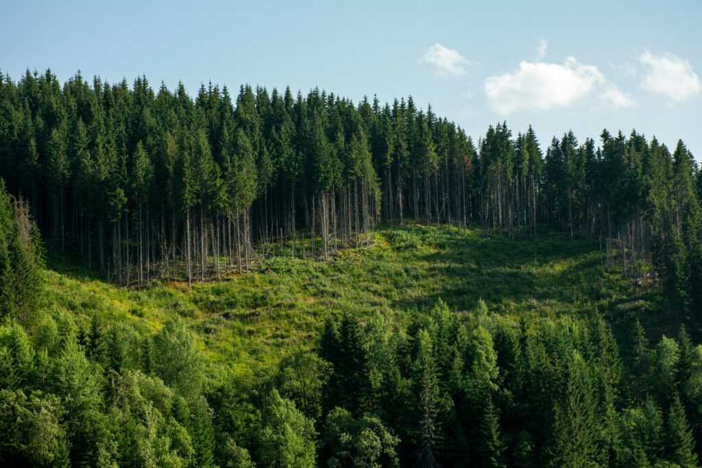
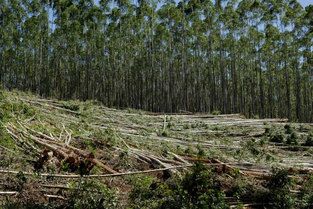
Data from the Food and Agriculture Organization (FAO) indicate that around 10 million hectares of forest are lost annually. Monitoring helps identify at-risk areas and implement early interventions. Without it, we could lose invaluable natural resources and biodiversity.
Technologies like satellite imagery and drones revolutionize forest monitoring. Satellites provide real-time, large-scale observations, while drones offer detailed, localized views. This synergy enhances our ability to detect illegal logging, track reforestation, and monitor forest health.
Forest conservation maintains ecological balance. Healthy forests store carbon, helping to combat climate change. They also support countless species, many of which face extinction without these habitats. Effective monitoring and conservation ensure forests can continue to provide these essential services.
Remote Sensing Technologies

Remote sensing technologies play a pivotal role in modern forest monitoring and conservation. By using advanced tools, conservationists can gather critical data and execute informed decisions to safeguard forests.
Satellite Imaging
Satellite imaging offers a comprehensive view of vast forest areas. Authorities like NASA and the European Space Agency use satellites to monitor forest health and track deforestation patterns. These high-resolution images can detect changes in canopy cover, identify illegal logging activities, and assess the impact of natural disasters, aiding timely interventions.
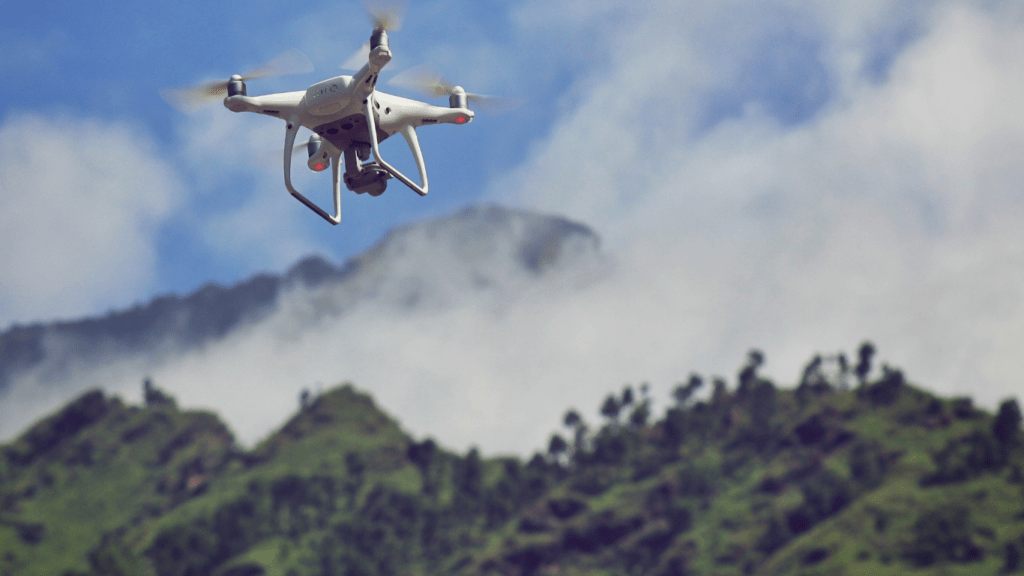
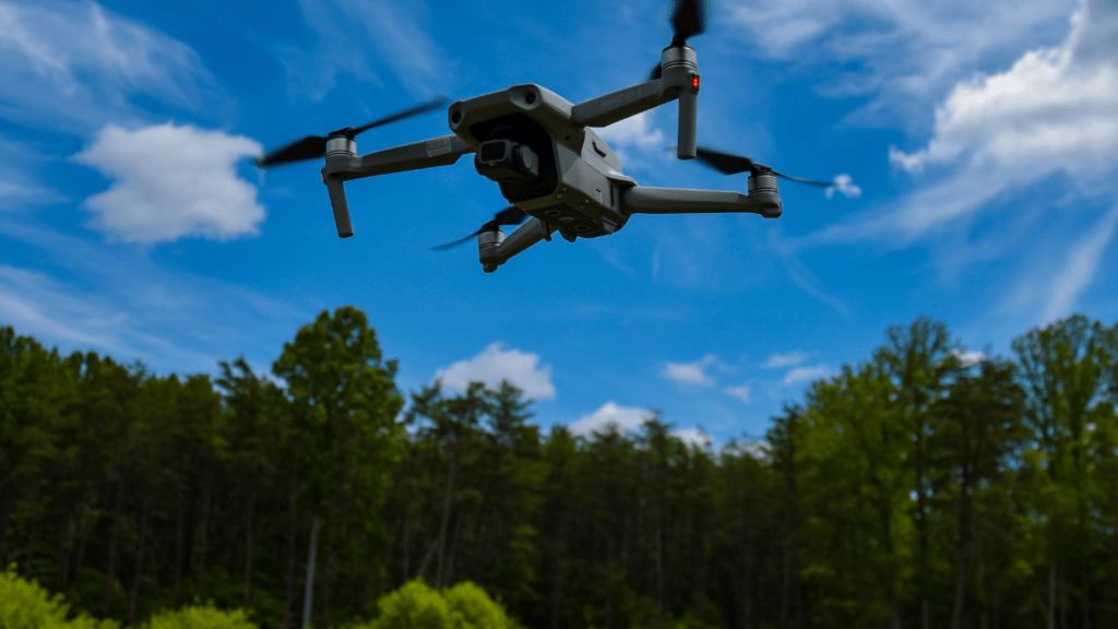
Aerial Drones
Aerial drones provide detailed, on-the-ground perspectives that complement satellite data. Equipped with high-definition cameras and LiDAR sensors, drones capture real-time images and create 3D maps of forested areas. This granular data allows for precise monitoring of tree health, identification of species, and assessment of biodiversity. Conservationists use drones to inspect hard-to-reach areas efficiently, making them indispensable for rapid response actions in forest management.
Ground-Based Sensors
Ground-based sensors provide detailed, localized data essential for effective forest monitoring and management. These sensors offer real-time insights into forest conditions, complementing aerial and satellite technologies.
Automated Cameras
Automated cameras capture continuous visual data in forested areas. These devices are often equipped with motion sensors, activating to photograph wildlife and monitor changes in vegetation. Some automated cameras use thermal imaging to track nocturnal animals and detect forest fires. By placing cameras at strategic points, such as near watering holes or along wildlife trails, we can gain critical information on animal populations and behavior patterns. This visual record assists in understanding habitat use, identifying illegal activities, and assessing the success of conservation efforts.
Acoustic Sensors
Acoustic sensors monitor forest sounds to detect changes in biodiversity and human intrusion. These sensors record audio frequencies that help identify species, such as birds and insects, by their calls. They also detect sounds from chainsaws or gunshots, signaling illegal activities like logging and poaching. Placed throughout a forest, acoustic sensors provide continuous data on the presence and behavior of species, contributing to long-term ecological studies. By analyzing soundscapes, researchers can infer changes in wildlife populations and the overall health of the forest ecosystem. Acoustic monitoring allows for immediate action in response to detected threats, enhancing forest conservation.
Data Analytics and AI
Data analytics and AI have transformed forest monitoring and conservation efforts. They offer new ways to analyze vast amounts of data, improving decision-making processes related to forest health and management.
Machine Learning Algorithms
Machine learning algorithms analyze complex datasets to identify patterns and trends. These algorithms process data from remote sensing technologies, drones, and ground-based sensors to detect changes in forest cover, health, and biodiversity. For instance, convolutional neural networks (CNNs) can classify tree species from high-resolution images by learning specific characteristics of leaves, branches, and bark textures. Decision trees and random forests predict the likelihood of forest fires by evaluating historical weather patterns, vegetation, and soil moisture levels.
Big Data Integration
Big data integration plays a crucial role in forest conservation. By combining data from various sources, it offers comprehensive insights into forest ecosystems. Satellite imagery, drone footage, ground-based sensor data, and climatic data can be integrated to develop predictive models. For example, integrating satellite data with historical deforestation records helps identify regions at high risk of illegal logging. Another application includes combining acoustic sensor data with wildlife movement patterns to monitor species distribution.
Data analytics and AI provide actionable insights, enabling rapid and effective responses to threats faced by forests.
Geographic Information Systems (GIS)
Geographic Information Systems (GIS) play a pivotal role in forest monitoring and conservation. GIS technology integrates spatial and non-spatial data, creating detailed maps and visualizations that aid in assessing forest conditions. By analyzing this data, I can identify patterns and trends in deforestation, forest degradation, and habitat fragmentation.
- Mapping and Visualization:
GIS aids in creating detailed maps showing various forest attributes, such as tree density, vegetation types, and land use patterns. These maps help visualize changes over time, which is essential for identifying areas at risk. For instance, I can use GIS maps to track illegal logging activities and implement targeted conservation strategies. - Spatial Analysis:
Spatial analysis tools within GIS allow for examining relationships and patterns in forest data. By using layers of information, I can analyze the impact of environmental factors, such as rainfall, temperature, and soil types, on forest health. This capability helps in understanding how different factors contribute to forest decline or recovery. - Monitoring and Decision Making:
GIS technology supports real-time forest monitoring by integrating data from satellite imagery, drones, and ground-based sensors. This integration provides a comprehensive view of forest ecosystems, enabling me to make informed decisions. For example, I can prioitize reforestation efforts in degraded areas by analyzing GIS data on soil quality and climate conditions. - Predictive Modeling:
Using historical and current data, GIS facilitates predictive modeling to anticipate future changes in forest landscapes. These models help forecast potential threats like forest fires, disease outbreaks, and climate change effects. By predicting these events, I can develop preventive measures and allocate resources efficiently. - Sustainable Management:
GIS assists in planning and implementing sustainable forest management practices. By analyzing spatial data, I can design conservation plans that maximize biodiversity preservation and resource use efficiency. GIS also supports the monitoring of compliance with environmental regulations, ensuring that conservation practices align with legal requirements.
The integration of GIS in forest monitoring and conservation enhances our ability to protect forests, maintain biodiversity, and combat deforestation. Using GIS, I can gain valuable insights into forest ecosystems, allowing for more effective conservation strategies.
Community Engagement Tools
Community engagement tools play a crucial role in forest conservation by fostering local involvement and collaboration. Mobile apps empower communities to report illegal activities like logging or poaching in real-time. These reports are vital for swift action and increased accountability.
Social media platforms help raise awareness about forest issues. For example, interactive campaigns can highlight the importance of forest conservation and encourage community participation. Platforms like Facebook and Twitter reach wide audiences quickly, turning awareness into action.
Crowdsourcing platforms enable collective data collection. Open-source maps like OpenStreetMap allow communities to contribute to mapping forest areas, making data more accurate and current. This collaborative effort enhances monitoring capabilities.
Educational tools such as e-learning modules and virtual reality experiences educate communities about forest ecosystems. These tools make complex information accessible, fostering a deeper understanding of the importance of conservation.
Citizen science projects engage communities in scientific research. For instance, people can participate in biodiversity surveys or track wildlife movements, contributing to valuable datasets. This engagement empowers individuals and enriches conservation efforts with diverse local insights.
Combining these community engagement tools enhances forest monitoring and conservation. By involving local communities, the efforts to protect forests become more inclusive and effective.
Benefits and Challenges of New Technologies
Technological advances bring significant changes to forest monitoring and conservation. They present numerous benefits while posing certain challenges.
Benefits
New technologies boost the effectiveness of forest monitoring through enhanced accuracy and speed. Drones and satellites provide precise, real-time data on forest health. For example, the high-resolution images from drones can detect minor changes in canopy cover indicating early signs of deforestation. Ground-based sensors offer detailed, localized information that complements aerial data for comprehensive monitoring.
Automated systems reduce manual labor costs. Ground-based sensors and automated cameras work continuously, requiring minimal human intervention. Acoustic sensors, which record animal sounds and detect illegal activities, aid long-term studies without constant human presence.
Geographic Information Systems (GIS) enable detailed spatial analysis. By integrating various data types, GIS creates comprehensive maps showing deforestation patterns and habitat fragmentation. It also supports predictive modeling for anticipating future threats.
Data analytics and AI turn complex data into actionable insights. Machine learning algorithms analyze data from drones and sensors, identifying trends in forest cover and health. This capability is essential for quick responses to threats. Convolutional Neural Networks (CNNs), for instance, classify tree species accurately from high-resolution images, supporting biodiversity studies.
Challenges
Although new technologies offer many benefits, they also present challenges. High initial costs can be a barrier. Purchasing and maintaining drones, satellites, and sensors require substantial investment. Smaller conservation organizations might find these costs prohibitive.
Data management complexity is another concern. Large volumes of data from diverse sources need efficient processing and storage solutions. Integrating different data types into a unified system requires specialized skills, which might not be readily available.
Furthermore, technical expertise is necessary to operate advanced equipment like drones and GIS software. Training personnel takes time and resources. Without skilled operators, the technologies can’t reach their full potential.
Lastly, technological dependence might reduce local community engagement. If technology replaces on-the-ground human involvement, communities could feel disconnected from conservation efforts. Balancing tech use with local participation is crucial for sustainable outcomes.